Just over the weekend, I did an expedition to Pulau Hantu, one of Singapore's Southern Islands.
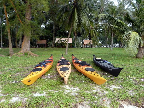
We started picked up the kayaks from Kayak Asia in the morning on Saturday and trucked them to Tanjong Beach in Sentosa. We launched our crafts from the beach at about 10:30am.
It was a cloudy and windy morning. Just after we move off the beach we were caught right in the middle of wash of 3 pasting motor motors, which means crazy crashing waves. But after that it was pretty straight forward rowing to the Sisters Island. We reach sisters at roughly 11am stopping briefly for a toilet break.
From the Sisters Island we head for the tiny hump of Jong, which is commonly know as the "hamburger island", because it looks like a round bun on top of a piece of patty. The water was pretty choppy. Sometimes my kayak would rise above the crest of the wave and the crash down and water start to get into the craft. It was a good thing we had water pumps to pump out the water.
In spite of the choppy water, we made pretty good time. From Sisters Island to Jong, we took slightly more than 1 hour. We kind of hang around the island and rested for a while, eating some snacks and took some pictures.
On the map, the distance from Sentosa to Sisters is about 2.6km and Sisters to Jong is about 5km. So we did 7.6 km in about 1.5 hours, which was a pretty decent pace. Since Jong marked more than half of our journey, I thought we reach Hantu in just another 1 hour at the most. Boy, was I wrong.
From Jong, we started to paddle towards Pulau Semakau. After a while, it became apparent that the progress was becoming very slow. Every time we stop paddling, we were quickly pushed back. It was starting to get tiring. Semakau has no beaches (at least on the side opposite Bukom). I spotted a ramp and suggested we stop at the ramp and take break for lunch. The distance from Jong to the ramp was only about 1.3 km. But it took us close to 1 hour!
After lunch and a good rest, we set off again. At this point we split into 2 groups. 2 of the guys paddle directly towards Pulau Hantu taking a course that brought them closer towards Pulau Bukum. Choe and I hugged close to Semakau as we wanted to check out the mangroves.
It was easy paddling as the water appeared to have become calmer. I thought the worse was over. But later I found out that it was because the water currents were weaker in the inner curve of the island. The other 2 guys were having a much harder time. Although we took a longer route, we reach the northern tip of Semakau before them.
Once we rounded the northern tip of Semakau, we hit the currents again. It took me a while to realize that I was hardly moving. I was definitely paddling a lot, but if I mark my progress against the landmarks on Bukom, I was hardly moving! It was like on a tread mill. You paddle and paddle and you are still at the same spot! Once I stop paddling, I drift backwards quickly.
The short stretch must not have been more than 1 km. But I think we must have taken close to an hour to break through that stretch. This was the first time I encountered such strong currents.
It was a great relief when we finally reached Pulau Hantu. It was almost 4pm when we finally reach there. This was more than 2 hours beyond my projected time of arrival. I had initially expected that we should have arrived on the island and frolicking in the lagoon by 2pm.
We were all exhausted. After we set up camp and had dinner, we just went to sleep about 8pm.
At about 12am, a thunderstorm hit the island. It was flashing lightning and crashing thunder. But luckily rain was not heavy and wind was not strong. We were able to get back to sleep without getting wet.
Day 2 saw us getting up at 6am. By 8am, we were all packed and launching our crafts. The tide was low, and the water was pretty calm. There was little wind. We spent some time exploring the shallow waters off the west coast of Pulau Hantu. There were lots of sea grass and fishes. And twice, I caught what I thought was a sea turtle peaking out of the water before diving back down again. My friend thought it might be a dugong, but I am quite sure it's a sea turtle because I saw its beaked head quite clearly.
We lingered for more than 1 hour, before heading back to Sentosa. The rest of the journey was pretty easy, except for the last part near Sentosa. The water got choppy and the current was uncertain. It became tiring keeping the kayak on a straight course, though we were still moving.
We reached Tanjong Beach at 12pm. We took some time to relax at the beach before the lorry came to pick up the kayaks at 2pm.
It was a rather tiring trip though quite an adventure. My advise for those of you who might want to plan a similar expedition is to prepare for a possibility of strong currents at the channels between Pulau Semakau and Pulau Bukom.
This is the distances of the trip (my friend checked it up using Google Maps)
Day 1
Sentosa - Sisters' 2.6 km (about 0.5 hr)
Sisters' - Jong (hamburger) 4.8 km (about 1 hr)
Jong - Semakau (factory) 1.3 km (about 1 hr)
Semakau - Hantu 3.4 km (about 2.5 hr)
Day 2
Hantu - Semakau (mangrove) 1.6 km (about 0.5 hr)
Semakau - Bukom (staff quarter jetty) 2.4 km (about 0.5 hr)
Bukom - Sentosa 5.2 km (about 1.5 hr)